
Round Rock ZIP Coverage
The Round Rock ZIP code directory has a working postal list, but each entry needs address-level verification. Postal geography is not a municipal boundary map. The official research identifies six ZIP references connected with the Round Rock mailing area: 78664, 78665, 78680, 78681, 78682, and 78683. Some are current area clues, while others are legacy or transition designations. Use the table to frame a search, then ask USPS to resolve the actual delivery address.
| ZIP | Round Rock relationship | Postal designation | Research note |
|---|---|---|---|
| 78664 | Core and much of the central, south, and east mailing area | Round Rock destination | Linked in USPS materials with 78682 and 78683; exact current station boundary was not located. |
| 78665 | East and northeast area, including Old Settlers and University-area addresses | Round Rock designation | Confirm the complete boundary through USPS and GIS. |
| 78680 | Historical Round Rock postal reference | Legacy / transition designation | 2017 bulletin documents a change involving 78681; do not assume current street coverage. |
| 78681 | Round Rock West and western mailing areas | Round Rock destination | Compare the live USPS result with the city ZIP layer. |
| 78682 | Legacy larger Round Rock destination | Legacy reference | Current neighborhood or station extent was not located. |
| 78683 | Legacy Round Rock destination | Legacy reference | USPS material associates it with 78664; verify any current address result. |
Postal destination names can outlast or change independently of delivery boundaries. The useful comparison is not one ZIP against another, but the resolved USPS address against the property situs, city-limit layer, and the office that holds the relevant record.
Verify Round Rock ZIPs
The address-level answer comes from the USPS ZIP Code Lookup. Enter a complete address or city and state in the live tool before using a postal code as a research filter. The unattended research could not submit a Round Rock address to capture a current result, so no unverified station boundary or delivery promise is repeated here. USPS validation is the first practical safeguard when an older directory, deed, or map uses a postal label that may have changed.
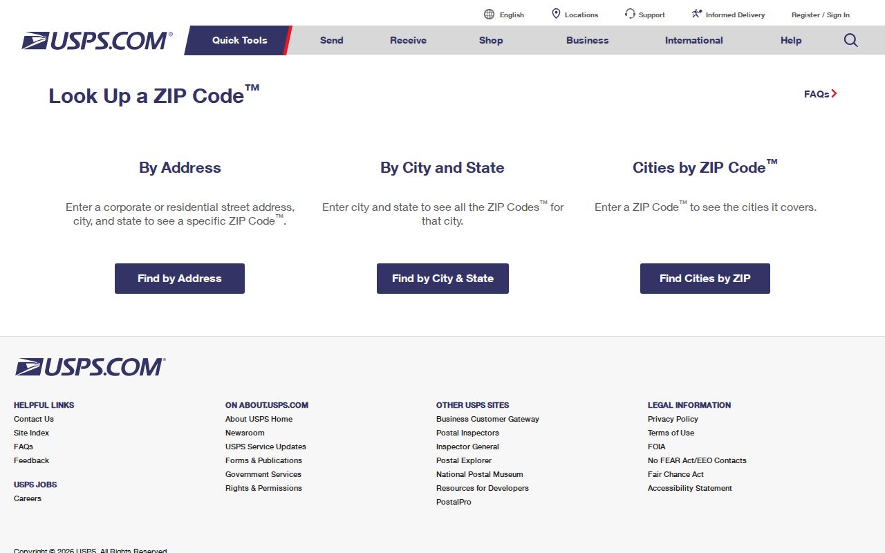
The USPS ZIP Code Lookup screen is the official starting point for a current delivery check.
Use the resulting ZIP with the full address in your notes, then compare it against WCAD's situs field. A mailing ZIP, property situs, and recorded legal description can all point to the same place through different systems, but they should not be treated as interchangeable without that address check.
Round Rock Postal Changes
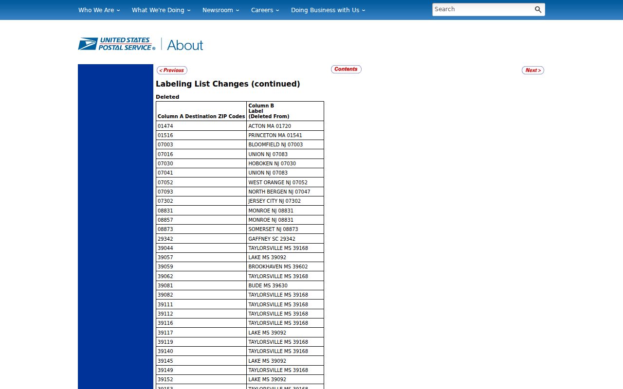
Round Rock has a documented postal-history wrinkle. The 2017 USPS Postal Bulletin records destination changes involving 78680 and 78681, along with 78664, 78682, and 78683. A 2019 bulletin and an archived DMM table provide additional historical comparison. These sources show why a ZIP printed in an older record is a lead, not a present-day delivery conclusion.
The postal bulletin documents the Round Rock destination-change context used for historical ZIP comparison.
This is a comparison problem with two answers: an archival ZIP label helps date or interpret a record, while a live USPS result validates a current mailing address. The city’s older post office also continued as “Old Round Rock” from 1879 to 1891, another reason to retain the exact wording and date from a historical source.
Search Round Rock ZIP Parcels
WCAD's advanced property form is the documented ZIP-capable record search. It accepts ZIP Code as a text filter alongside street, city, neighborhood, property type, ownership, legal-description, and tax-year controls. A ZIP-wide WCAD query returns parcel and property rows. It does not create an all-person directory for a ZIP. The results can reveal the appraisal-roll owner, owner mailing address, situs address, account, property ID, legal description, neighborhood, values, and tax year.
| WCAD search field | ZIP research use | Important limit |
|---|---|---|
| ZIP Code | Narrows property rows to a postal area | Use a live verified ZIP value |
| Street Name / Number Range | Further limits a ZIP result to an address span | Street coverage does not establish a city boundary |
| City and Neighborhood | Refines the property context | Labels need a city-limit or GIS check |
| Property Type / Status | Separates property categories and active status | Appraisal categories do not identify occupants |
| Tax Year | Dates the appraisal-roll result | Observed choices include 2024 through 2027 |
| Owner fields / legal description | Follows a parcel toward a deed or plat | Owner mailing and situs fields can differ |
The result grid can choose columns, sort, paginate, store a session, and export CSV. Preserve the tax year and query fields with an export. WCAD warns that its data may contain errors, so use its results as a property-record lead and verify important details with the responsible custodian.
Note: A ZIP filter groups appraisal records by postal field, not people by household, residence, or voting status.
Round Rock ZIP GIS Layers
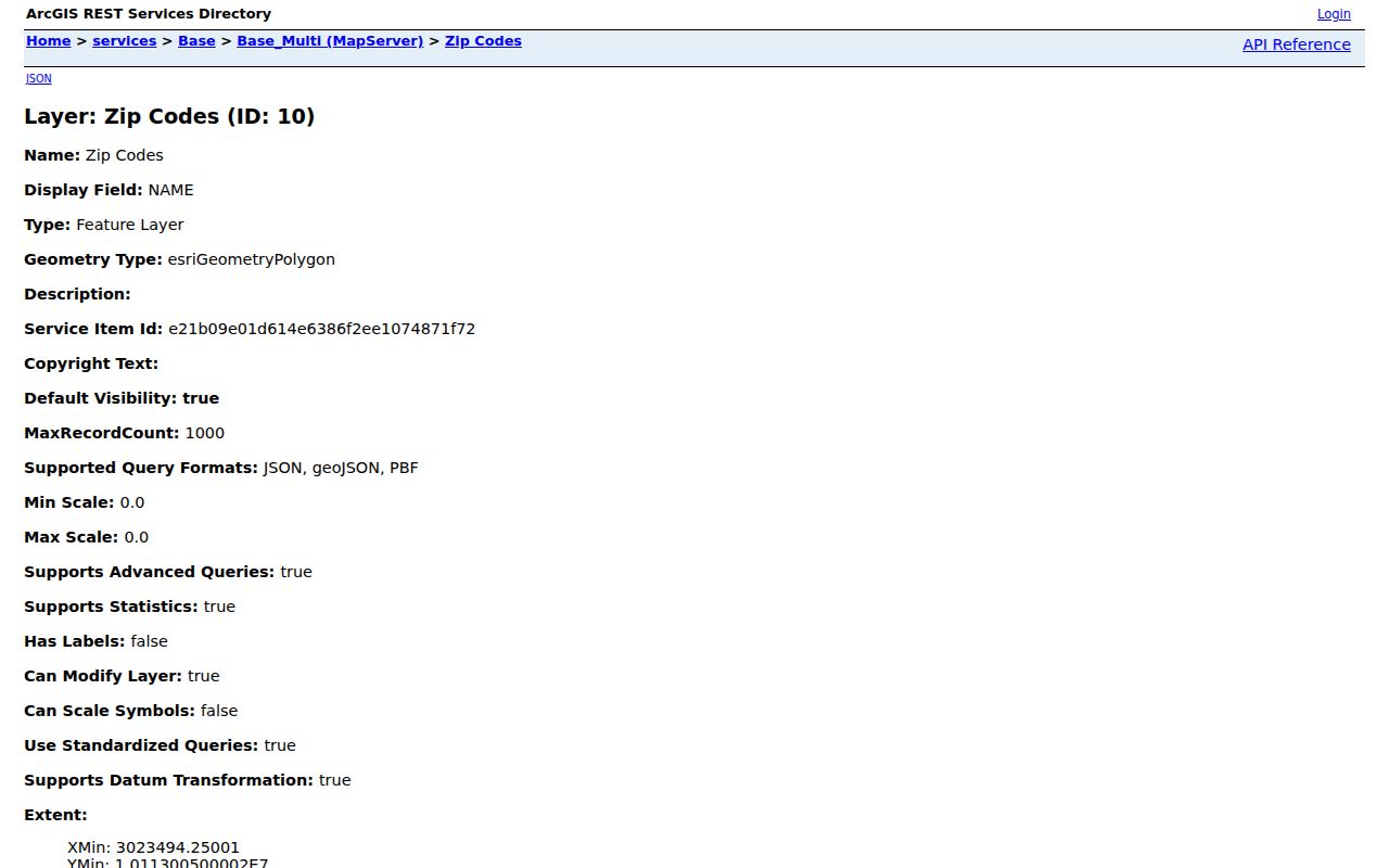
The City’s ZIP Code feature layer is the map comparison tool. It is a polygon layer with a NAME display field and query capability. Compare it with CityView, city limits, the extraterritorial-jurisdiction layer, and the official neighborhood map. Census ZCTAs 78664 and 78681 intersect the city in whole or part, but a ZCTA is not a USPS delivery boundary and cannot replace a live address validation.
The City’s GIS ZIP polygon layer supplies the geographic view needed beside an address-level USPS result.
The layer exposes a local comparison issue: a postal label, city limit, ETJ, county precinct, school boundary, and court jurisdiction can all cut across the same general area differently. Use the map for context, then route a records request by the custodian and jurisdiction, not by a ZIP alone.
Find Residents by ZIP
The Round Rock ZIP code directory is a narrowing tool. It can take a full address through USPS, then move a verified ZIP into WCAD’s property filter. From there, a parcel identifier, legal description, and owner field can support a more exact property or deed search. It cannot promise a complete list of current households. Voter lookup is an identity search through county and state channels, not a documented ZIP browse, and CityView is an address-and-map tool rather than a ZIP-wide resident roll.
- Validate the complete delivery address with USPS and write down the returned ZIP with the date checked.
- Use the verified ZIP in WCAD advanced search, adding city, street, neighborhood, or property type only when needed.
- Review property rows as appraisal records, retaining the situs, owner mailing field, account, property ID, legal description, and tax year.
- Compare the parcel with the city ZIP layer and city-limit context before routing a permit, code, court, or county question.
- Once a result is narrowed to a named street, use the Round Rock street directory for the parcel-by-parcel trail.
County maps can also support address, street, district, and export searches. They provide electoral or geographic context, not a person list. For a record that is not online, the responsible office, its counter, a defined request, or its archive remains the fallback channel.
Round Rock ZIP Address Keys
Postal, property, and record systems use different keys. USPS ties a ZIP to a delivery address. WCAD separates the taxable situs from an owner’s mailing address. A deed or plat uses the parties and legal description. Cityworks permits use the project location. GIS relies on parcel geometry. Voter records use election residence and precinct. A search becomes more reliable when each result stays attached to its own key instead of being copied into another system’s field.
- ZIP Code
- A postal routing code for a delivery area, not a municipal boundary.
- ZIP+4
- An added delivery segment that makes a ZIP Code more specific for a particular address or delivery point.
- PO-box ZIP
- A postal code used for post office boxes; it should not be assumed to describe nearby street delivery.
- Unique ZIP
- A ZIP assigned to a single organization or high-volume recipient when USPS designates one.
- Carrier route
- A USPS delivery route that may help route mail but does not establish city or parcel jurisdiction.
Address history can be needed when a historic directory or deed uses an older street name. Round Rock’s New Town street history and later postal changes make a legal description or final plat especially useful as a bridge. Do not substitute an owner mailing address for a situs, or a city mailing label for the incorporated city line.
Round Rock ZIP Jurisdiction
ZIP boundaries and Round Rock city limits do not match exactly. A Round Rock mailing address can lie outside the incorporated city, and a city-adjacent place can carry a different postal-city label. The official neighborhood map and CityView distinguish city limits from the ETJ. Before sending a permit, code, or court question to an office, verify the particular address with the city GIS, county GIS or address lookup, WCAD jurisdiction information, and the relevant local authority.
Boundary check. A ZIP is postal geography, not proof that an address is inside Round Rock, inside the ETJ, or within a particular county-office service area.
Building Inspection says work outside city limits and the ETJ goes through Williamson County at 512-218-5550, while some MUD areas receive city permitting treatment. That is a routing fact, not a ZIP rule. Round Rock ISD also serves parts of Round Rock, Williamson and Travis counties, plus parts of Cedar Park and Austin, so school attendance geography should not be used as a ZIP or city-boundary substitute.
Note: Confirm the governing jurisdiction with the address-level map and office before requesting a city or county record.
Round Rock ZIP Search Limits
A ZIP search cannot produce a complete, current resident list. WCAD shows appraisal and ownership-related property fields, not every household member. A property owner may not live at the parcel. CityView gives mapped context rather than occupancy evidence. Voter information has protected addresses and confidential identifiers, and the public lookup is not an unrestricted geographic browse. No public utility customer roster was located for this workflow.
Use postal and property results for lawful personal research, such as family history, estate questions, property curiosity, or checking a seller’s public property trail. Do not use a ZIP or address search to stalk, harass, or harm another person. When a result matters, confirm it with the original custodian, and leave protected, sealed, or confidential information alone.