
Round Rock Neighbors and Block Records
A Round Rock block has several public-record layers, and each answers a different question. CityView shows parcel shapes and nearby spatial context. WCAD supplies assessed-owner and parcel fields. The County Clerk index follows recorded instruments. Cityworks may show a project by location. Voter tools are built for individual lookup, not a street-wide browse. Neighborhood groups can identify voluntary community activity, but the City does not promise a public roster of members.
| Round Rock source | Block-level value | Access and limit |
|---|---|---|
| CityView Properties | Parcel shapes, address search, layers, and nearby spatial context | Public map, not a legal boundary survey |
| WCAD advanced search | Owner, situs, mailing, parcel, legal description, and tax-year fields | Public roll, not a household list |
| County Clerk Kofile | Deeds, plats, restrictions, liens, and recorded parties | Grantor, grantee, document, and date searching |
| Cityworks permits | Location, permit type, people involved, contractors, and inspections | Guest search, captcha, and CSV export |
| Neighborhood Services | Association boundary, contact, meeting, and program context | No public member roll promised |
The key Round Rock distinction is owner versus occupant. WCAD may display an owner mailing address that is different from the taxable parcel's situs. That is a mailing and ownership clue, not proof of who is at the parcel. Historic directory entries are also historical clues, not a current list of Round Rock neighbors.
Map Round Rock Neighbors in CityView
CityView is the Round Rock spatial starting point. Search the target address, choose the Properties layer, and pan or zoom to the parcels around it. Click or browse nearby property features to identify the adjacent lots. CityView can also search an image ID or coordinates, and its Distance and Area tools can document the shape or size of the area being reviewed. Reset and Reset All clear the layers and measurements when a new address is needed.
CityView includes Annual Imagery, Historic Surveys, Basemaps, and Street View alongside its property layer. The City says the map is not a legal boundary survey. Use it to understand spatial relationships, then use WCAD for assessed-owner information and the County Clerk for the legal description or recorded instrument. That two-source check keeps a Round Rock parcel map from being mistaken for a deed record.
The Round Rock GeoHub and geospatial-services page is the source for the public parcel, street, zoning, and utility-data routes.
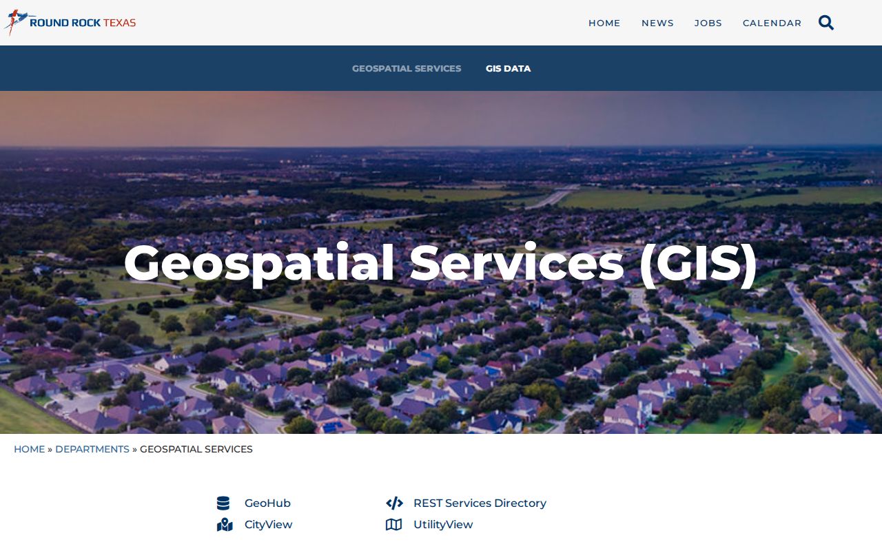
The GeoHub capture points a block search toward the appropriate city mapping resource before owner and recorded-document details are checked elsewhere.
Round Rock Neighbor Parcel Checks
For each adjacent Round Rock parcel, record the situs address, parcel or property ID, owner name, owner mailing address, legal description, subdivision, block or lot, and tax year. WCAD's advanced search can filter by street number range, street name, city, ZIP, neighborhood, property type, status, owner name, subdivision, block, tract or lot. Its result grid can select columns and export CSV, which is useful for keeping a dated research note.
Do not turn those fields into an occupancy claim. OwnerName and OwnerAddress are appraisal-roll ownership and mailing fields. SitusAddress is the property location. A mailing address may differ because correspondence goes elsewhere, one owner has several parcels, or ownership and occupancy differ. A homestead category may support an inference, but it does not identify every Round Rock neighbor at that address.
Map a Round Rock Block by Parcel
The adjacent-parcel method follows a short, repeatable chain. It starts with the exact address in CityView and ends only after the map evidence, appraisal fields, and recorded-land trail agree. The process is about the immediate Round Rock block, not a full named street. For a complete street-by-street records chain, use the Round Rock streets page after the adjacent parcels are identified.
- Locate the address in CityView and select Properties before panning to the visible surrounding parcels.
- Capture each parcel's situs address or property identifier, then verify the owner and mailing fields in WCAD.
- Compare the legal description, subdivision, block or lot, and tax year before assuming nearby lots share a title history.
- Use the County Clerk's grantor and grantee index for deeds, plats, restrictions, and a prior recorded-party trail.
- Use Cityworks by location when permit activity can add a dated project clue, while keeping applicant and contractor roles distinct from occupancy.
That sequence makes the strongest use of each Round Rock system: CityView supplies spatial context, WCAD supplies assessment fields, the clerk supplies recorded land material, and Cityworks supplies location-based project information.
Round Rock Neighborhood Groups and Contacts
Round Rock Neighborhood Services can use CityView or staff help to identify current or past associations within a proposed boundary. It distinguishes a voluntary neighborhood association from an HOA. A voluntary association does not have legal authority to enforce dues or restrictions. An HOA is a private, legally binding entity with governing documents. The City supports association registration, meeting venues, advertising, facilitation, bylaws, staff liaison, matching grants, block-party resources, training, awards, and cleanups.
| City-registered association | Neighborhood Services can identify current or past groups and maintains contact or meeting material for formal groups. A public member directory is not promised. |
|---|---|
| HOA or deed-restriction community | Recorded declarations and restrictions at the County Clerk can establish the governing-document trail. No member roster was located. |
| Block Watch | City resource material describes block watch as a community activity. A specific public Round Rock directory was not located. |
The Round Rock Neighborhood Organization Resources page explains this association-identification and support route.
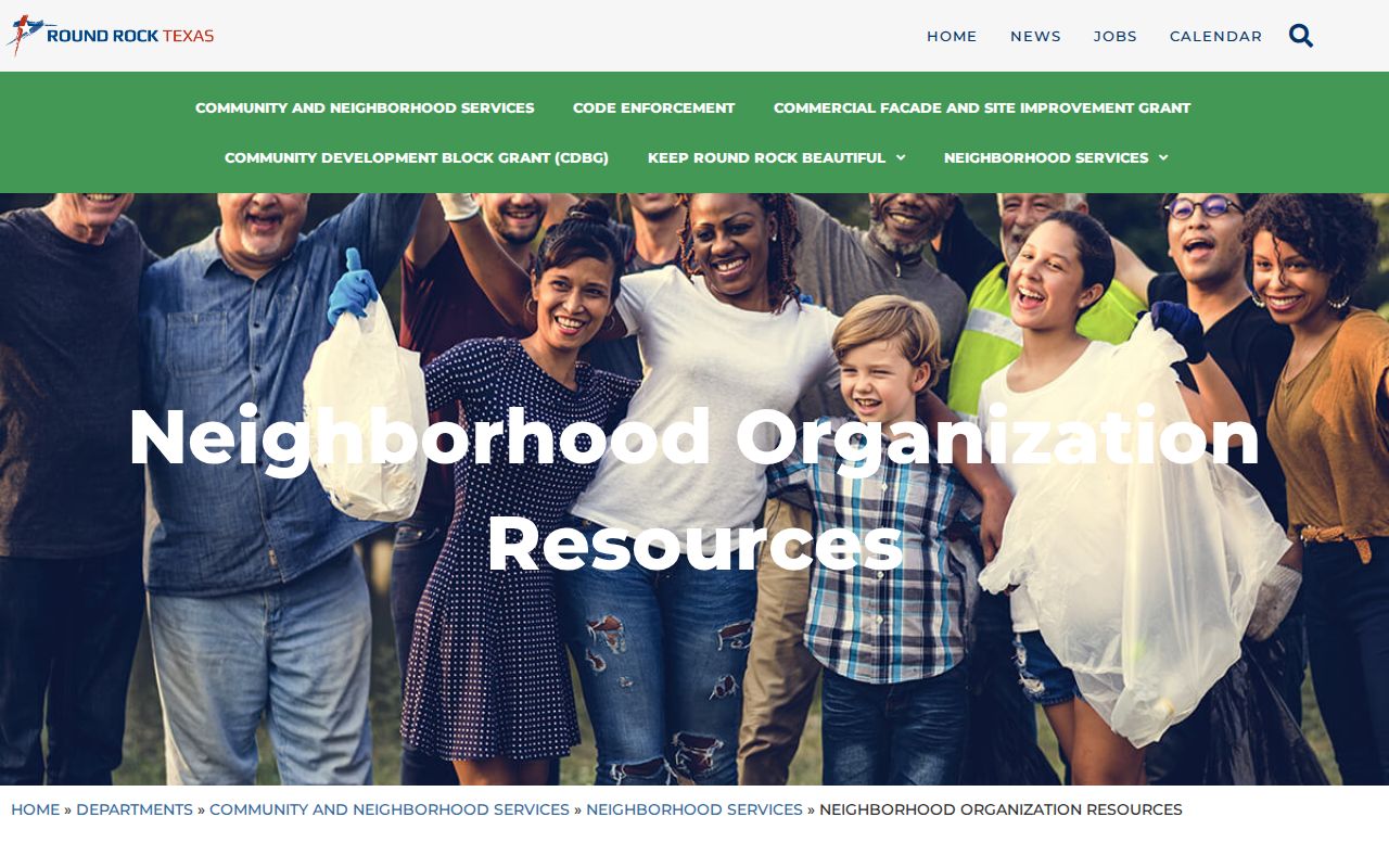
The source page reinforces the local boundary between community support information and private membership information.
Round Rock Neighbors Are Not a Voter List
Williamson County's public voter route is designed to check a named individual. Official training material describes name, county plus VUID and date of birth, or TDL plus date of birth modes. The live JavaScript form did not expose a documented browse-the-block function during research. A full voter-file request may be a separate county channel, but the current fee, delivery, data-format, and permitted-requestor details were not located. Do not infer them.
Texas guidance says name, date of birth, VUID, and participation history are public in the stated context, while Social Security, driver-license, and state-ID numbers are protected. Participation history never states how a person voted. Protected voters and Address Confidentiality Program participants should not be reverse-located from a Round Rock block map. A web opt-out suppresses the county and state lookup display, but does not remove every record subject to the Public Information Act.
Round Rock Neighbors in Historic Context
For an older Round Rock block, a historic overlay can add place context without identifying a current household. CityView can show historic-survey layers. The City FAQ identifies 19 individually designated historic landmarks in East End and describes Downtown Commercial as the city's only designated historic district, with no residential historic districts identified by that FAQ. Historic status is a property-history clue, not a resident record.
The City also reports a Historic Landmarks Explorer that maps 109 resources with photos, addresses, descriptions, markers, cemeteries, former sites, and historic districts. Use it as a Round Rock address-history lead, then verify a person or land claim through deeds, preservation records, directories, or county material. This is useful local context, especially where a historic street view does not match the present parcel map.
Round Rock preservation data also needs a date check. The City preservation page reports 79 city-designated landmarks, while another City FAQ gives 71. That difference is a reminder to save the source date and use the current CityView layer or preservation record for a present status. A landmark result can explain a block's history, but it does not identify a present occupant or establish a parcel boundary.
Round Rock Official and Commercial Neighbor Tools
Official Round Rock records and commercial neighbor tools do not serve the same role. A commercial category may combine parcel fragments, directories, purchased data, and inferred links. That can be convenient, but it can also blend same names, stale addresses, and unrelated parcels. The CityView to WCAD to County Clerk sequence is more controlled because each source has a known custodian and purpose.
| Source type | Useful for | Limit to keep in view |
|---|---|---|
| Official map and appraisal roll | Parcel, situs, owner, legal-description, and tax-year context | Does not establish every current occupant |
| County recorded documents | Deed, plat, restriction, and recorded-party trail | Search and image availability vary by record |
| Commercial category | Possible lead to test against a custodian | May contain stale, merged, or inferred information |
The reliable Round Rock rule is simple: use any nonofficial result only as a lead, then test it against CityView, WCAD, the County Clerk, or the appropriate city office. Do not treat an inferred match as a fact about your neighbors.
Privacy Limits for Round Rock Neighbors
A Round Rock parcel owner is not automatically a neighbor in the everyday sense. An owner mailing address can be public while the actual occupant is not. Protected voter and Address Confidentiality Program addresses are suppressed. Utility and delivery lists are not public sources for this purpose. A historic directory entry describes a past occupant, and a neighborhood association may retain contact information that is not public.
Texas limits online display of certain appraisal photographs, sketches, floor plans, and age-related appraisal information. Texas voter systems protect identifying numbers, and federal motor-vehicle privacy rules do not create a driver-license address search. If an official result is wrong, ask the custodian about its correction process. Keep the source, date, and parcel or case reference rather than repeating unverified claims about Round Rock neighbors.
Lawful use. Use a Round Rock neighbor lookup for lawful personal research and community context. Texas Penal Code §§42.07 and 42.072 address harassment and stalking; never use public information to monitor, threaten, harass, or intimidate another person.