
Search Round Rock Streets
A Round Rock street directory works best as a parcel-by-parcel trail, not as a list of everyone at an address. Start with the street segment in Williamson Central Appraisal District's advanced search. Its result grid separates the owner name and mailing address from the situs address, the taxable property's physical location. That difference matters: an owner can receive tax notices elsewhere, and a situs result does not establish who occupies a home. Keep the tax year and the parcel or account identifier with every result.
- Enter the street name with a start and end number range in WCAD, then narrow by city, ZIP Code, neighborhood, or property type when those fields fit the search.
- Record the property ID, account, owner, mailing address, situs address, and legal description. These fields make the next searches repeatable.
- Open the location in CityView or the parcel map to see the parcel in context. Compare adjoining parcels rather than assuming consecutive house numbers share a tract.
- Use the owner and legal description in the county's grantor-grantee index to locate a transfer instrument, then follow the seller backward as a prior grantee.
- For an older household lead, check regional address indexes or criss-cross directories. A current owner record and a historical occupant entry are different kinds of evidence.
Williamson County's public voter lookup is designed to confirm an individual registration and precinct, not to browse an entire block. It is not a street-wide roster. When the question changes from a corridor to one named person, use the separate Round Rock resident lookup workflow to compare official records carefully.
Round Rock WCAD Street Search
WCAD is the strongest current address tool in the Round Rock street directory because its advanced form can search a span instead of one exact address. Use Street Number Range Start and End with Street Name for a segment. City, ZIP Code, neighborhood, tax year, ownership, and legal-description controls can narrow a broad result. The district values property; it does not collect the tax, and its own notice says the data may contain inaccuracies or typos.
| WCAD field | Use on a street search | Result to retain |
|---|---|---|
| Street Number Range Start / End | Covers a block or selected segment | Situs addresses within that range |
| Street Name and City | Matches the road and city context | Property ID and account |
| ZIP Code and Neighborhood | Reduces a broader street result | Tax year used for the query |
| Owner First / Last or Business Name | Follows a property-owner lead | Owner and separate mailing fields |
| Subdivision, Block, Tract / Lot | Bridges a parcel to a plat or deed | Legal description |
The grid can select columns, sort results, paginate, and export CSV. Export is useful for preserving a dated research note, but it is not proof that every owner lives at a listed situs. The parcel roll identifies appraisal data, and ownership, mailing, occupancy, and household membership must not be collapsed into one claim.
Note: Save the precise field labels because a later search may return a different grid page or a newer tax year.
Round Rock CityView Parcels
Round Rock CityView provides the visual half of an address search. It accepts an address, image ID, or latitude and longitude and offers Properties, Annual Imagery, Historic Surveys, Basemaps, and Street View layers. Its Distance and Area tools can help orient a search along a street. GeoHub also links city parcel, zoning, street, and utility datasets, plus county GIS resources.
Use CityView to compare the mapped location with the WCAD situs and then move back to the property record for identifiers. A map layer is not a boundary survey, and approximate underground-utility information should not be used as survey evidence. City limits and the extraterritorial jurisdiction are distinct, so an address with a Round Rock mailing label can still require county rather than city routing for a permit, code, or court question.
Round Rock Permit Trails
Permits add a place-and-time record to a Round Rock street directory. The City's Cityworks help materials describe public searches by permit number, permit type, people involved, location, contractor, and time period, with CSV export. Building permits can help date construction, alteration, replacement work, inspections, or a certificate of occupancy. A permit applicant or contractor is not automatically the owner or occupant, so treat a hit as a project connection rather than a household list.
The Round Rock Cityworks permit portal help page shows the guest-search and filter route used for an address inquiry.
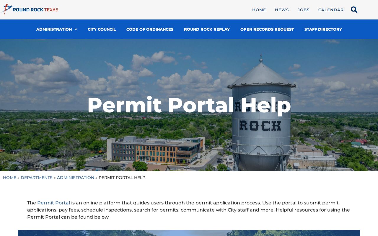
The controls shown there support a location-first search and explain the export path, but a CAPTCHA can appear. Building Inspection lists 512-218-5550, Planning and Development Services lists 512-218-5428, and Code Enforcement lists 512-341-3329 when a documented city channel is needed. No public code-case index or coverage period was located, so a code inquiry should begin with the City's contact route rather than an assumed searchable docket.
Round Rock Street History
Old addresses need a Round Rock-specific translation step. The city developed at the Chisholm Trail and Brushy Creek crossing, then businesses and residents moved toward New Town when the railroad arrived in 1876. Streets in the New Town plat were dedicated on December 8, 1880. San Saba, Harris, Brown, McDonald, Mays, Lampasas, Sheppard, Burnet, Lewis, Stone, and Black appear in the original west-to-east naming history; Austin, Liberty Hill, and Georgetown, later Main, marked northern streets.
That history is a geography check, not a shortcut to a modern address. Search old and current street names together, then bridge them with a plat and the legal description. The city's addressing rules put street names on final plats and assign addresses through Planning and Development Services. A legal description often survives a renumbering or name change better than a street number does.
Note: A historic street label should be verified against a plat or deed before it is matched to a current situs.
Round Rock Deed Chain
After WCAD supplies the owner and legal description, move to the Williamson County Official Public Records search, which leads to the Kofile index. Its Quick Search accepts a grantor or grantee name, subdivision, document type, or document number. Add a recorded-date range and choose either Index Only or Index & Full Text (OCR). The county's FAQ says real-estate research requires a grantor or grantee plus a date and is not indexed by legal description.
- Parcel
- A mapped property unit that WCAD identifies with property or account data.
- Situs address
- The physical taxable-property location, separate from an owner's tax-notice mailing address.
- Plat
- A recorded map that can tie an address to a subdivision, block, lot, or tract.
- Grantor / grantee
- The party transferring an interest and the party receiving it on a recorded instrument.
- Criss-cross directory
- A reverse directory that can connect an address to an occupant lead for the years it covers.
Search the current owner as grantee for the acquisition record, note the seller as grantor, then search that seller as grantee in an earlier period. Preserve the document number, recording date, party roles, document type, legal description, subdivision, book or page if displayed, and image status. County records begin in 1848, but the official research did not state Kofile's online image cutoff, image price, or login requirement. Older material may require the County Clerk, TSLAC finding aids, FamilySearch catalog, or a researcher.
Round Rock Address Records
No single Round Rock street directory supplies all names attached to a block. Address-keyed sources fit together only when their limits remain clear. WCAD offers the current appraisal trail. CityView supplies geographic context. County Clerk filings create a transfer chronology. Cityworks records project activity. The voter lookup can confirm an individual status or precinct within legal limits, but it is not documented as a browse-all-street tool. Historical directories may add an older name only when their regional coverage reaches the address.
| Address record | Round Rock / county keeper | Street use | Access route |
|---|---|---|---|
| Appraisal roll | WCAD | Owner, mailing and situs fields; parcel identifiers | Search, advanced search, or property map |
| Parcel and GIS layers | CityView / GeoHub | Parcel context, zoning, streets, imagery, surveys | Public map tools, not a legal survey |
| Official records index | Williamson County Clerk | Deeds, plats, liens, restrictions, and party trail | Kofile, counter, mail, phone, or defined request |
| Permit activity | Round Rock Cityworks | Location, type, time, and project participants | Guest search, filters, and CSV export |
| Older address indexes | Austin History Center / regional collections | Address-to-occupant leads after 1905 when covered | Collection and microfilm access vary |
The County Clerk cannot perform searches for the public under AG Opinion WW-607. That procedural quirk changes the practical sequence: search the index yourself, inspect the counter records, submit a defined written request, or use a researcher. Staff can explain access channels, but a request should identify a document or bounded record rather than ask for an open-ended name hunt.
Round Rock Situs and Mailing
A street result has several address keys, and they are not interchangeable. USPS assigns the postal delivery address. WCAD has a situs field and an owner mailing field. Deeds and plats use parties and legal descriptions. Permits use a project location. GIS uses parcel geometry. Voter records use election residence and precinct under separate access rules. Before comparing any two results, write down which key each source actually uses.
For example, a ZIP filter can narrow WCAD property rows, but it does not return every person in that ZIP. A mailing address outside Williamson County does not remove a parcel from a Round Rock street. Likewise, a property owner may have more than one parcel. This is why an address trail should preserve the source, tax year, and field label beside each name instead of treating a single match as a current resident confirmation.
Historic Round Rock Address Clues
Regional directories are an older layer of the street directory, not a confirmed complete Round Rock series. Austin-area directories generally add street-address indexes after 1905, and Austin History Center criss-cross volumes run from 1957 forward with gaps. A 1958 Travis County Rural Directory can offer a Round Rock exchange or address lead. Match each volume's area and year before relying on it for an occupant connection.
The City Directory collections hold the fuller history of those volumes, while this address workflow uses them only after the parcel, plat, and street-name checks. Directory leads can be paired with deeds, maps, permits, and the federal census when the released census year fits the question. OCR may miss initials, and newspaper microfilm is chronological, so alternate spellings and an approximate date improve the search.
Note: An address index can suggest a past household, but it does not replace the parcel and deed record for title history.
Round Rock Street Limits
A Round Rock street directory cannot show a complete household. Public property data can identify an appraisal-roll owner and the record's mailing or situs fields, but not every occupant. The public voter lookup is not an unrestricted street browse. Utility customer lists were not located as a public lookup source, and driver-license address data are restricted. A permit can show a project participant without proving residence or ownership.
Lawful use. Use Round Rock address records for personal, lawful research such as family history, estate work, civic questions, or confirming a property record. Never use an address trail to stalk, harass, intimidate, or harm another person.
Protected voter addresses and Texas Address Confidentiality Program information are not ordinary public web content. If a record is sealed, confidential, or missing, do not try to reconstruct it from unrelated sources. Confirm important facts with the office that keeps the original record, especially before relying on a map label, appraisal entry, or older directory lead.